A three-year series of research flights from the Arctic to the Antarctic comes to an end this week, completing an unprecedented survey of greenhouse gases in the atmosphere.
The HIPPO project is aimed at generating the first detailed mapping of the global distribution of gases and particles that affect Earth’s climate.
“Tracking carbon dioxide and other gases with only surface measurements has been like snorkeling with a really foggy mask,” says Britton Stephens, a scientist with the National Center for Atmospheric Research (NCAR). “Finally, HIPPO is giving us a clear view of what’s really out there.”
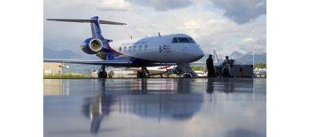
The flights have been carried out in a specially equipped Gulfstream V aircraft known as the High-performance Instrumented Airborne Platform for Environmental Research (HIAPER).
It’s enabled the research team to study air samples at different latitudes from altitudes of 500 feet up to 45,000 feet, into the lower stratosphere. The team measured a total of over 80 gases and particles in the atmosphere.
Each of the five missions took the research team from Colorado to Alaska and the Arctic Circle, then south over the Pacific to New Zealand and near Antarctica. The flights took place at different times of year, resulting in a range of seasonal snapshots of concentrations of greenhouse gases.
The research was designed to help answer such questions as why atmospheric levels of methane have tripled since the Industrial Age and are on the rise again after leveling off in the 1990s.
One of HIPPO’s most significant achievements has been quantifying the seasonal amounts of CO2 taken up and released by land plants and the oceans. Scientists also studied how logging and regrowth in northern boreal forests and tropical rain forests are affecting levels of carbon dioxide in the atmosphere.
The team also found that black carbon particles — emitted by diesel engines, industrial processes, and fires — are more widely distributed in the atmosphere than previously thought.
“What we didn’t anticipate were the very high levels of black carbon we observed in plumes of air sweeping over the central Pacific toward the US West Coast,” says NOAA scientist Ryan Spackman.
“Levels were comparable with those measured in megacities such as Houston or Los Angeles. This suggests that western Pacific sources of black carbon are significant and that atmospheric transport of the material is efficient.”
Researchers were also surprised to find larger-than-expected concentrations of nitrous oxide high in the tropical atmosphere – significant because the gas both traps heat and contributes to the thinning of the ozone layer.
Nitrous oxide levels have been increasing for decades, partly because of the intensive use of nitrogen fertilizer for agriculture. The abundance of the gas high in the tropical atmosphere may be a sign that storms are carrying it from sources in Southeast Asia.